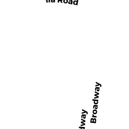
13 ILA RD
Owner Information
STINSON LYMAN A
13 ILA RD
SAUGUS, MA 01906


Property Details
13 ILA RD is classified as a Two-Family Residential (Cape).
The primary structure on this property was built in 1953. There are 2722ft2 of built area within this property. There is 2722ft2 of residential/living space within this property. This property is listed as having 10 rooms. There are 2 units within this property.
13 ILA RD is valued at 598100. The land is valued at 234000 and the structures are valued at 346300. There is an additional valuation of 17800 on this property.
The most recent deed for 13 ILA RD is recorded at the local registrar in Book 6118, Page 784. 13 ILA RD was last sold on 1945-06-18 for 1.
Assessment data from fiscal year 2022.
Flood Data
According to the FEMA National Flood Hazard Layer, this property does not appear to be in a flood zone. It may also be in an area not yet reviewed. Nonetheless, confirm this information prior to taking any action.
To view the flood hazards around this property, create a FEMA "Firmette" Map of the area around 13 ILA RD.
Broadband Internet Providers
| Provider | Type | Bandwidth (mbps) | |
|---|---|---|---|
| VSAT Systems, LLC. | Satellite | 2 | 1 |
| GCI Communication Corp. | Satellite | 0 | 0 |
| T-Mobile | Fixed Wireless | 25 | 3 |
| EarthLink Business, LLC | DSL | 0 | 0 |
| Verizon New England Inc. | DSL | 5 | 0 |
| Viasat Inc | Satellite | 100 | 3 |
| Comcast | Cable | 1000 | 35 |
| HughesNet | Satellite | 25 | 3 |
Broadband service provider data from December 2020.
Adjacent Properties
- 17 ILA RD
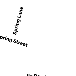
Rectory or Parsonage owned by SALVATION ARMY OF MASS - 0 SPRING ST
Undevelopable Residential Land owned by WALTER LAURA K - 0 SPRING ST
Vacant, Conservation, Other City or Town owned by CITY OF LYNN - 141 BROADWAY
Small Retail and Services stores (under 10,000 sq. ft.) owned by LONGMUIR STEPHEN A - 11 ILA RD
Single Family Residential owned by WOODWORTH LINDA ANN